What it is
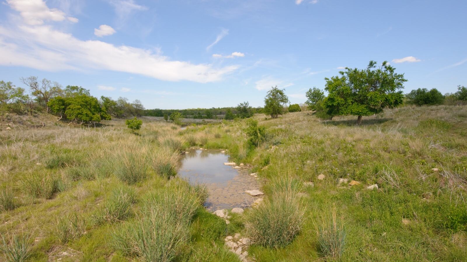
A strip of permanent vegetation between land use and water. Trees, shrubs, and rough grass along a stream, river, pond, or wetland margin, left unploughed, ungrazed, and unsprayed.
It is the least glamorous restoration intervention available and close to the highest return per hectare. A buffer occupying two percent of a catchment can intercept a substantial share of the sediment and nutrient that would otherwise reach the water.
Riparian zones are also, hectare for hectare, among the most species-rich habitats in any landscape. They are linear, wet, structurally complex, and connected, which is an unusual combination.
What the strip actually does
Intercepts sediment. Runoff slows on entering rough vegetation, and suspended soil drops out. Well-designed buffers commonly remove 50 to 90 percent of incoming sediment. That soil stays on the field, where it is worth something, rather than smothering gravel beds where fish spawn.
Takes up nutrients. Nitrogen and phosphorus in runoff and shallow groundwater are absorbed by roots. In saturated soil, denitrifying bacteria convert nitrate to nitrogen gas and remove it from the system entirely. This is why the wet part of the buffer matters most and should not be drained.
Shades the water. Stream temperature is the limiting factor for many aquatic species. Removing bank trees can raise summer water temperature by several degrees, enough to exclude trout and to drive oxygen down exactly when demand is highest. Canopy shade is the cheapest thermal management available.
Feeds the stream. Leaf litter falling in is the base of the food web in most small watercourses. Shredding invertebrates process it, and everything else eats them. A stream running through bare pasture is missing its energy input. See decomposers.
Holds the bank. Roots bind. A vegetated bank resists undercutting far better than a bare or poached one, and woody roots are much better than grass. See erosion control.
Supplies large wood. Trees eventually fall in. Large woody debris creates pools, sorts gravel, slows flow, and produces the physical variety that river life depends on. Removing it, as decades of drainage practice did, produced uniform fast channels with almost nothing living in them. See dead wood habitat.
Slows floods. Rough vegetation on a floodplain dissipates energy and delays the peak. See wetland restoration.
How wide
The honest answer is that it depends on what you want it to do, and the returns are steep at first.
3 to 5 m stops bank erosion, provides some shade on a small stream, and keeps machinery and spray off the edge. This is the minimum worth doing and often what regulation requires.
10 to 15 m starts removing sediment and nutrients effectively, and supports meaningful wildlife use.
20 to 30 m gives good nutrient removal, full shade on small watercourses, and a functioning wildlife corridor.
50 m plus approaches genuine riparian habitat with interior conditions and complete function.
Width should vary with slope, soil, and what is upslope. Steep ground and heavy runoff need more. Follow the wet ground rather than a fixed offset from the bank: a buffer that follows the floodplain and seepage lines outperforms a uniform-width strip of the same area, because it captures the flow paths that carry most of the load.
The important detail is that concentrated flow defeats buffers entirely. Water arriving in a gully cuts straight through and the buffer does nothing. Buffers work on sheet flow, so the upslope job is keeping flow diffuse. See swales and finding contour.
Building one
Fence it. Livestock exclusion is usually the single biggest gain, and often the only intervention needed. Stock in a watercourse cause bank collapse, direct faecal contamination, and total loss of marginal vegetation. Provide an alternative water supply, and a hardened crossing point if animals must cross. See rotational grazing.
Let it come back on its own where you can. Many riparian zones regenerate quickly once grazing and cutting stop, because the seed bank is intact and the site is wet and fertile. Assisted regeneration is cheaper and produces better structure than planting. Check what is already coming through, see pioneer identification.
Plant where you must. Wet-tolerant natives: alder, willow, and the shrub layer. Willow establishes from unrooted cuttings pushed into damp ground, which makes large-scale bank work extremely cheap.
Structure the zones. A grass or herb strip on the field edge to catch sediment and slow flow. Shrubs behind it. Trees at the water. Each does a different job, and the rough grass strip is the part most often left out.
Leave it untidy. Fallen wood, rank vegetation, brambles, and standing dead stems are the habitat, not a maintenance failure. See rewilding edges and rock and log piles.
Watch for invasives. Riparian corridors are the fastest routes for invasive spread, since water carries seed and fragments downstream. Buffers need checking. See invasive species.
Corridors
Riparian strips are the best wildlife corridors most landscapes have, because they are already continuous, already linear, and already protected in many jurisdictions.
They connect fragments that are otherwise isolated, and they run across contours, connecting uplands to lowlands, which matters increasingly as species shift range under climate adaptation pressure.
If you are planning connectivity across a landscape, start with the watercourses. See wildlife corridors.
What they cannot do
Buffers treat symptoms. A buffer downstream of badly managed land intercepts some of the damage; it does not fix the cause.
Nutrient saturation is real: a buffer that has been absorbing phosphorus for decades eventually stops, and can begin releasing it. Sediment deposition gradually raises the strip and changes how flow enters it.
Groundwater flow can bypass a buffer entirely, moving beneath the root zone, which is why buffers perform well against surface runoff and poorly against deep leaching. Nitrate arriving in groundwater may never encounter the roots that would remove it.
So buffers belong alongside upslope work, not instead of it: cover cropping, soil cover, decompaction, and reduced inputs. See water mapping to find where the load is actually coming from.
See also
- Wetland Restoration the floodplain-scale version
- Erosion Control holding the bank
- Wildlife Corridors buffers as connectivity
- Willow the bank-building workhorse
- Water Mapping locating the real inputs
- Rotational Grazing keeping stock out of the water
- Spindle and Dogwood
- Plane Trees
- Constructed Wetlands
- Swamp Cypress and Dawn Redwood
- Tamarisk
- Arjuna
- Spate Irrigation