Why this is harder than it sounds
Planting trees stores carbon. That much is true and uncontroversial.
Almost everything after that gets misstated, usually in the direction of the person making the claim. A project that says it has sequestered a certain tonnage is making four separate assertions, and each can fail independently.
If you are making claims, selling credits, or reading someone else's numbers, these are the four to interrogate.
The four tests
Additionality. Would this carbon have been stored anyway? Protecting a forest nobody was going to cut, or counting natural regeneration that was happening regardless, is not additional. This is where the majority of low-quality credits fail. Investigations into avoided-deforestation credits have repeatedly found that most issued credits represented little or no additional carbon, because the baseline threat was overstated.
Permanence. Carbon in a tree is on loan. Fire, disease, drought, or a change of ownership can return it to the atmosphere in a week. A fossil emission is permanent; a forest offset is not equivalent unless it is guaranteed for centuries. Buffer pools, where a share of credits is withheld against reversal, are the standard mitigation, and several have been drawn down heavily by wildfire already. See fire management and tree diseases.
Leakage. If protecting this forest pushes the logging one valley over, the atmosphere gained nothing. Leakage is difficult to measure and routinely ignored.
Baseline. Everything is measured against a counterfactual that by definition did not happen. Baselines are modelled, and modelled baselines are where optimism enters. A generous baseline makes an ordinary project look transformative.
Where the carbon actually is
Five pools, and projects tend to count the easy ones.
Above-ground biomass. Trunks, branches, leaves. The largest visible pool and the one that gets measured, because it is the one you can see.
Below-ground biomass. Roots. Usually estimated as a ratio of above-ground, commonly 20 to 30 percent in forests.
Soil organic carbon. Frequently the biggest pool of all, particularly in grassland, wetland, and peat. Also the slowest to change and hardest to measure, so it is often left out or estimated badly. See organic matter building and long-term soil care.
Deadwood. Standing and fallen. Real, substantial in old woodland, routinely omitted. See dead wood habitat.
Litter. The surface layer.
Peat deserves separate mention because it inverts the usual logic. Drained peatland emits carbon continuously, and planting trees on it can cause net emissions that exceed anything the trees store. Rewetting a bog is often worth far more than planting a forest, and this is one of the clearest cases where a well-intentioned project makes the problem worse.
How measurement actually works
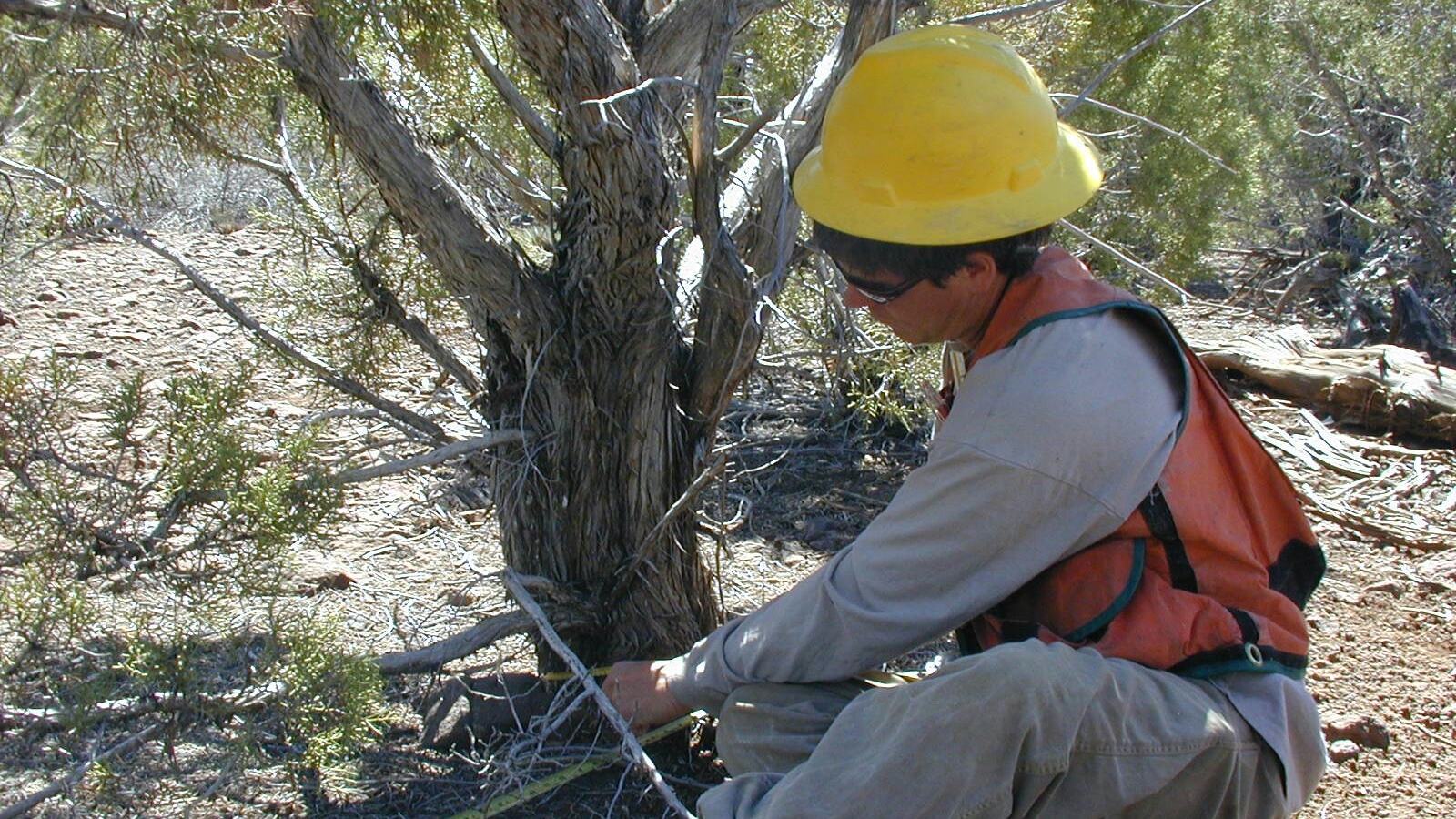
Plots and allometry. Field crews measure diameter at breast height, and sometimes height, in randomly located plots. Allometric equations convert diameter to biomass, biomass to carbon, usually at around 47 to 50 percent carbon by dry mass. Then scale to area.
The uncertainty lives in the equations. An allometric equation built for one species in one region can be badly wrong applied elsewhere, and this error propagates through the whole estimate.
Remote sensing. Satellite optical data for canopy cover and change, LiDAR for structure and height, radar for biomass under cloud. Excellent for area and change detection, weaker for absolute biomass, and blind to soil carbon.
Soil sampling. Cores to a stated depth, measuring carbon concentration and, critically, bulk density. Reporting concentration without bulk density is a common and serious error, since compaction alone changes concentration without changing stock. Detecting real change in soil carbon usually takes five to ten years and a lot of samples, because background variability is large.
Modelling. Used to fill gaps and project forward. Legitimate, and also where assumptions hide.
Reading a claim critically
Ask these, in order:
What is the baseline, and who chose it?
What pools are counted? Above-ground only is an incomplete number presented as a total.
Measured or modelled? Both are valid. Only one is evidence.
Over what period, and is it annual or cumulative? Cumulative multi-decade figures are frequently quoted as if annual.
What is the uncertainty? A number without an error range is marketing. Serious estimates carry confidence intervals, often plus or minus 20 to 50 percent for biomass and worse for soil.
Who verified it, and were they paid by the project?
What happens if it burns? Is there a buffer, and how large?
Doing it honestly on your own project
You do not need certification-grade methodology to have defensible numbers.
Set a baseline before you start. Photographs, fixed points, a soil sample archive, species counts. Everything you fail to record now becomes unprovable later. See monitoring.
Use permanent plots. Marked, mapped, re-measured on the same schedule. Trends from consistent plots are far more useful than a single heroic survey.
Sample soil properly. Fixed depths, bulk density every time, samples kept. Expect no detectable change for years.
Report ranges, not points.
Count what you actually control. Land you own or have secured tenure over, for a stated period.
Separate storage from avoided emission. They are different claims and mixing them is how numbers inflate.
The wider point
Carbon is one benefit of restoration, and usually not the largest.
A restored wetland stores carbon, and it also buffers floods, filters water, and supports species that exist nowhere else. See wetland restoration. A hedgerow network stores a modest amount of carbon and provides connectivity that determines whether populations persist, see wildlife corridors.
Projects optimised purely for carbon have produced fast-growing single-species plantations that store carbon and support almost nothing, sometimes replacing more valuable habitat to do it. Carbon is a metric, not a goal, and optimising for a metric is how you get a plantation instead of a forest.
Measure it because it is useful and because funders ask. Do not let it become the only thing you count. See structural diversity for what the carbon-only framing tends to lose.
See also
- Monitoring the measurement discipline underneath this
- Organic Matter Building the soil carbon pool
- Rotational Grazing where sequestration claims are contested
- Wetland Restoration peat and the inverted logic
- Dead Wood Habitat the pool nobody counts
- Climate Adaptation planning for the conditions coming
- Redwoods
- Mangrove Restoration
- Rice
- Oil Palm
- Cork Oak
- Ecosystem Services