What they are
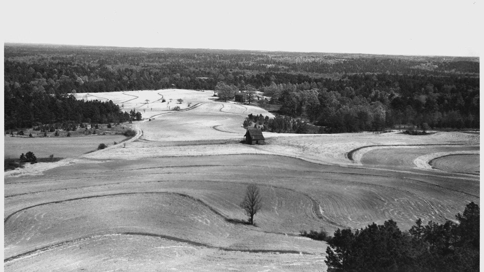
A contour bund is a low barrier — of stones, earth, or both — laid along the contour of a slope, at right angles to the flow of water. When runoff from a rainstorm reaches it, the bund slows the water, spreads it out along its length, causes it to drop the silt it is carrying, and gives it time to soak into the ground rather than rushing on downhill. A series of bunds down a slope turns a fast, erosive sheet of runoff into a slow, spreading, sinking one.
Contour bunds — especially the stone-line version (cordons pierreux) — are, with the zaï pit, the technique behind the greening of large areas of the Sahel, and versions of them exist in dryland farming worldwide.
How they work
The magic of a contour bund is that it is permeable and level. Because it follows the contour, water pools evenly behind its whole length instead of running to a low point; because it is porous (a loose stone line lets water seep through), it slows and spreads the flow without damming it into a destructive pond. Behind each bund:
- water infiltrates instead of running off, recharging the soil and, over time, the water table;
- sediment and organic matter drop out and accumulate, so a shallow terrace of better soil gradually builds up on the upslope side;
- seeds carried in the runoff lodge and germinate, so vegetation colonises the line;
- and erosion downslope is cut, because the water leaving is slower and cleaner.
Over several years a stone line becomes a low vegetated terrace, and the land between the bunds — once bare and crusted — carries crops again.
Building them
Stone lines are built by hand, laid along contours found with a simple water-tube or A-frame level (the introduction of the cheap water-tube level was a key part of the Sahel success, because it let farmers place the lines truly level). The stones are set in a shallow trench so they key in and are not undermined, with larger stones at the base and the line perhaps 25–40 cm high. Spacing between successive bunds down the slope depends on the gradient — closer on steeper ground, typically 20–50 m apart.
Where stone is scarce, earth bunds are used instead, but they are more vulnerable to breaching and must have planned overflow points and be well grassed. Vegetated barriers — lines of vetiver grass, or shrubs — do the same job with living material and are often planted along the bund to reinforce it.
Where they fit
Contour bunds are the slope-scale member of the dryland water-harvesting family: zaï pits and half-moons concentrate water at the individual plant, contour bunds treat the whole hillside, and check dams treat the gullies where concentrated flow has already cut in. They share their logic with the permaculture swale — a bund with an infiltration ditch — and with keyline cultivation, all of them ways of slowing, spreading, and sinking water across the land. Combined, they can rehabilitate whole degraded catchments and reverse desertification.
See also
- Swales the ditch-and-bank cousin for wetter climates
- Zaï Pits and Half-Moons the plant-scale partners
- Check Dams the same idea applied to gullies
- Finding Contour laying the lines truly level
- Dryland Restoration the degradation contour bunds reverse
- Erosion Control vegetated barriers that reinforce the bunds