Shaping land with earthworks
Moving the dirt so the water, the roots, and the access lines all go where you want them.
- 01
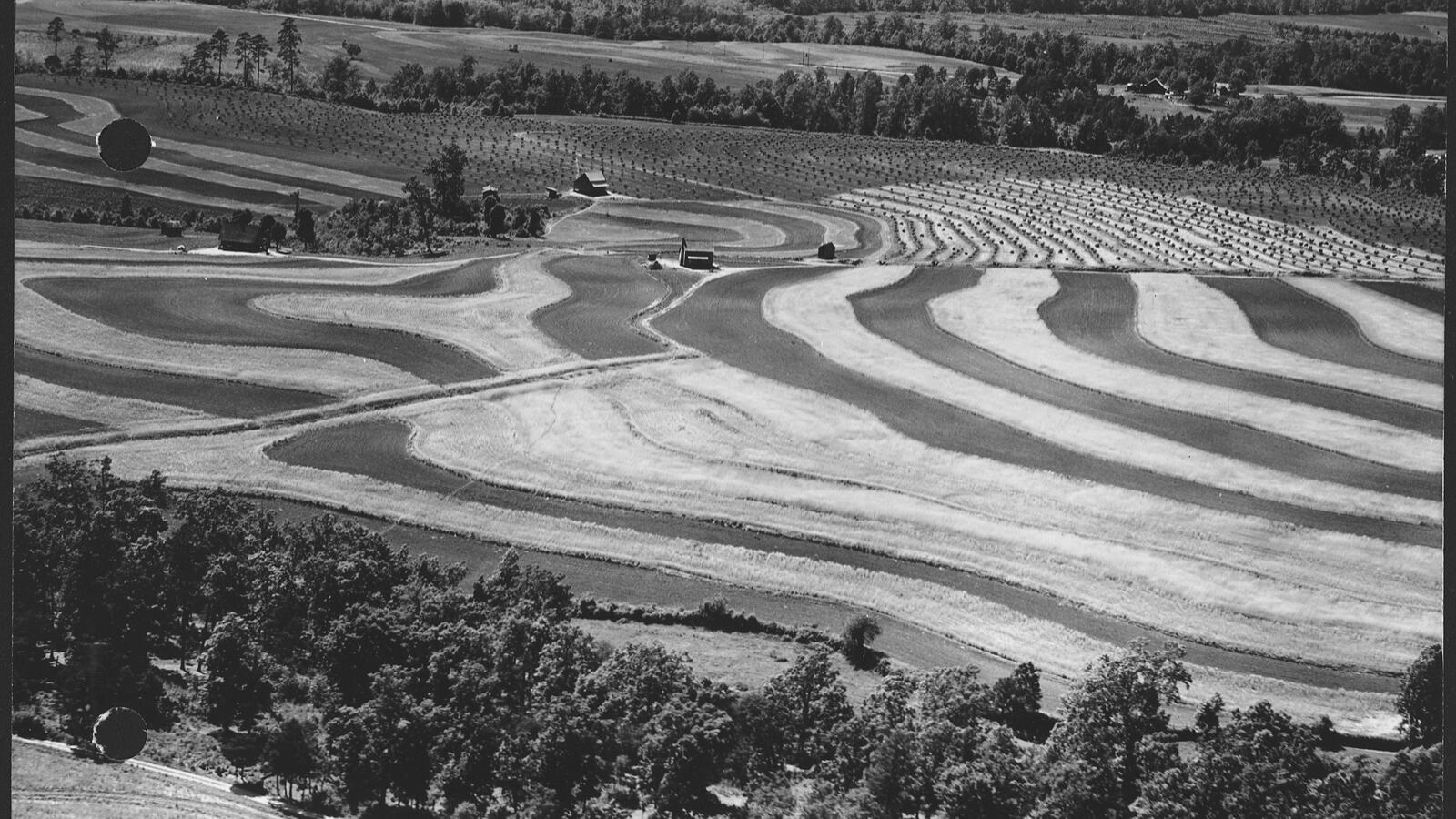 Water№ 1626 min
Finding Contour: The Level Line That Everything Depends On
A-frames, bunyip levels, and laser levels — how to mark a true level line across a slope before digging anything that has to hold water.
- 02
 Water№ 2503 min
Keyline Design: Moving Water from Valleys to Ridges
P.A. Yeomans' keyline system reads the shape of the land and uses gravity to push water from wet valleys to dry ridges.
- 03
 Water№ 1435 min
Earthworks and Contouring: Shaping Land to Hold Water
Landscape-scale water management through grading, contouring, and earth structures that slow, spread, and sink rainwater into the ground.
- 04
 Water№ 4744 min
Swales on Contour: Passive Water Harvesting
Design and build contour swales that catch runoff, recharge groundwater, and turn dry hillsides into productive land.
- 05
 Water№ 0783 min
Check Dams: Slowing Water, Building Land
How small rock, log, or earth barriers placed across drainage lines slow erosion, capture sediment, infiltrate water, and gradually rebuild degraded gullies.
- 06
 Water№ 3655 min
Ponds and Dams: Landscape-Scale Water Storage
How to site, build, and shape ponds and dams that store irrigation water, host wildlife, buffer microclimate, and defend against fire.
- 07
 Restoration№ 1534 min
Erosion Control: Stabilise Before You Plant
Why preventing soil loss is the essential first step in restoration, and the passive and living methods that hold ground while ecosystems recover.